
")
Tired of Cebu’s busy streets? Mount Babag, Cebu City’s highest peak at 752 MASL, offers a refreshing hike with stunning city views. Its moderate trails are perfect for both beginners and seasoned hikers seeking a short adventure.
The Trails
From Napo, choose between Kahugan Trail, longer but easier, or Busan Trail, shorter and steeper. Ernie’s Trail, branching from Busan, is for those craving a challenge with its steep inclines and handholds.
Scenery & Wildlife
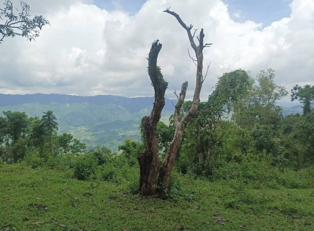
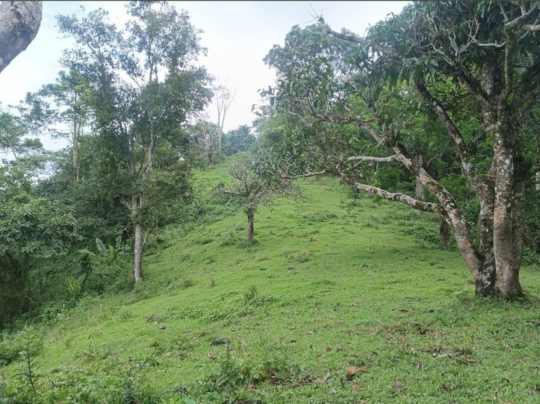
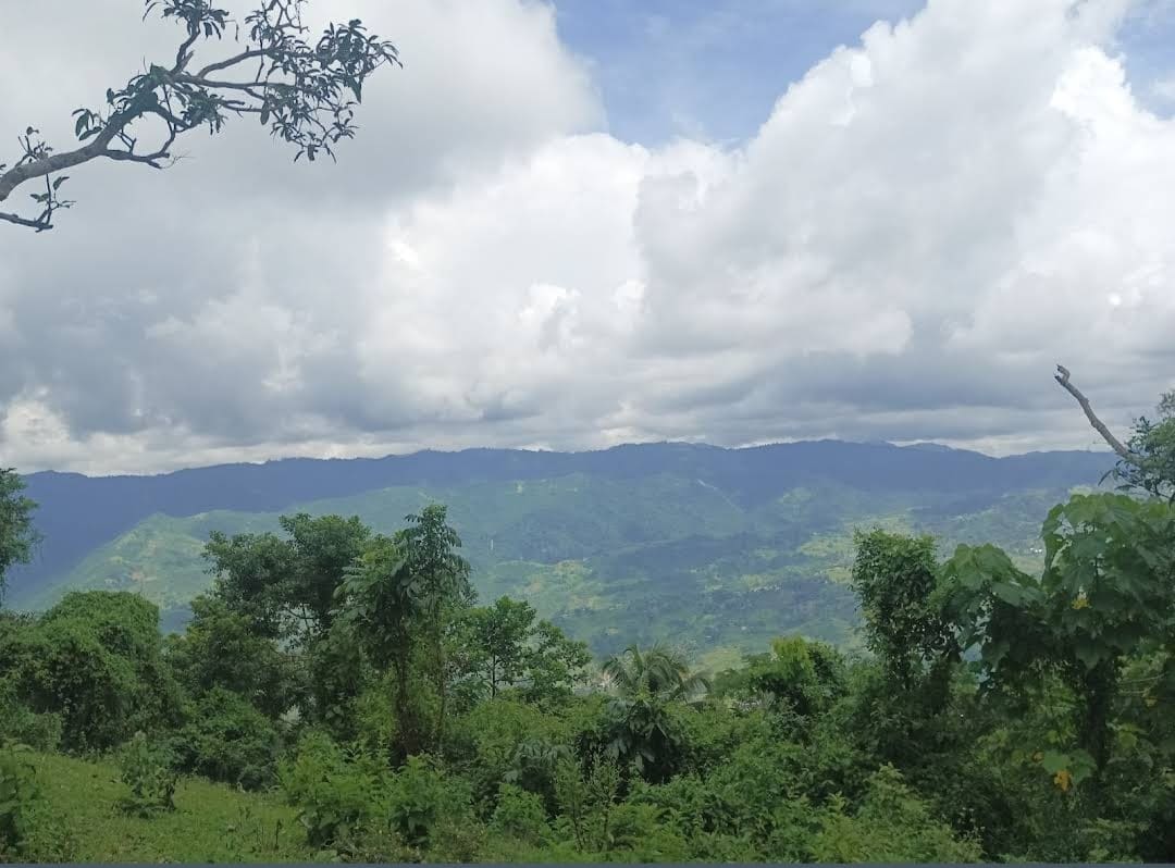
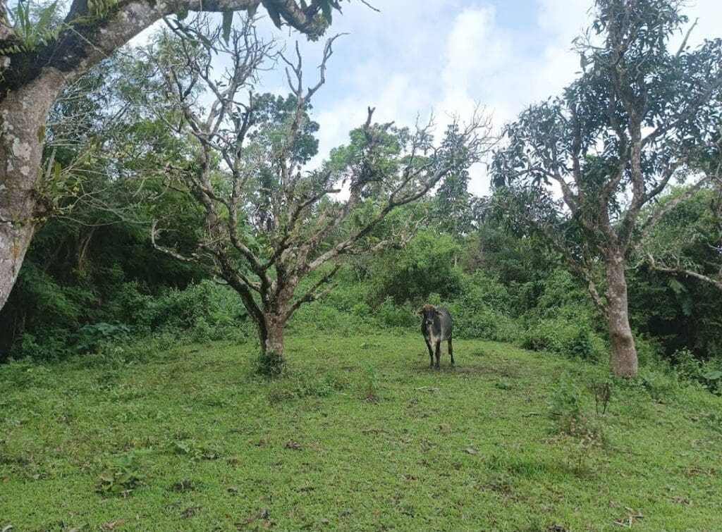
Enjoy mango groves, bamboo forests, and small waterfalls along the way. Birdwatchers may spot kingfishers, Brahminy kites, and the rare black shama. Every step offers picturesque views of Cebu City and the surrounding mountains.
Camping Options
Campers can pitch tents near the former Swiss Chalet Restaurant (20–35 tents) or at the quieter Manwel’s Peak (up to 9 tents) for a 360-degree view of Metro Cebu.
How To Get There?
Location: Cebu City, Philippines
By Car: From downtown Cebu, take Escario Street or Gorordo Avenue to Guadalupe. Continue up the ascending concrete-and-asphalt road through Sapangdaku until you reach Napo, the main jump-off. Parking is available at Napo.
By Commute: Take a jeepney bound for Guadalupe Church. From there, hire a habal-habal (motorcycle-for-hire) to Napo. The trek officially starts at the jump-off point.