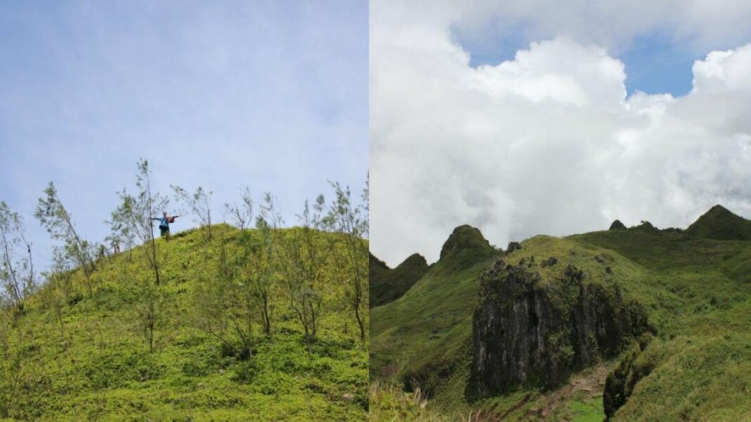
Para nimo, asa man jud ang Osmena peak?
Osmeña Peak, known to avid hikers as it is short and beginner friendly, taking up to 15-30 minutes from the jump off point. It stands tall at 1,013 meters high above sea level, making it the highest point in Cebu. Mantalongon, Dalaguete, is known as a cool mountainous town in southern Cebu which is often dubbed as the “Little Baguio of Cebu” for its vegetable farms and mistry climate.
Location Wise
The peak is located in Barangay Patong, Badian in the southern part of Cebu Island, Philippines. This jagged, hill studded peak is part of the Mantalongon mountain range but is divided by its borders, often compared to Bohol’s Chocolate Hills for its clustered, conical formations. At the very top, the view shows the Tañon Strait, and on clear weathers, you can even spot Negros and Bohol in the distance.
The Confusion
Osmeña Peak is said to be located in Mantalongon, Dalaguete, yet it’s actually part of Badian. Why the mix-up? It’s largely because many visitors access the peak in Mantalongon, Dalaguete. To simplify, because of the easier access in Dalaguete and steep mountain terrain in Badian, many believe that the peak is part of the municipality of Dalaguete. And is also advertised in many tour operators who also market the peak to be part of the municipality of Mantalongon.
The Explanation
Osmeña Peak is part of Barangay Patong, which is located in Badian but the range itself extends to the Dalaguete mountain range. If you look at the maps, the peak lies inside the boundaries of Badian and not in Dalaguete. According to locals, the dispute between the two municipalities have sparked a discussion on where the peak belongs to. This distinction is important, especially for matters of governance, tourism revenue, and local stewardship.
Photos from Osmeña Peak’s Facebook Page
So, we hope this answers or lessens the confusion on whether Osmeña Peak is in Badian or Dalaguete. And if you’re still confused, well, start trekking to the peak and see for yourself!

